Afternoon storms spark flash flooding across the Tri-State area

NEW YORK (WABC) -- The severe thunderstorms moving across the Tri-State area dumped tremendous amounts of rain, sparking flash flooding across the region on Tuesday afternoon.
As AccuWeather predicted, the storms started rolling into the area early this afternoon.
The torrential downpours sparked heavy flooding both underground and above ground on the FDR:
Some areas received 2 to 4 inches of rain by the time the system moved through.
CLICK HERE FOR THE LATEST ALERTS
Strong to damaging winds were an additional danger with the storms.
Lee Goldberg shared the below video from a viewer of a possible funnel cloud spotted over Brooklyn:
All three major airports in the area reported delays in the afternoon due to the weather.
After the storms move out tonight, sunny skies will prevail on Wednesday and for the rest of the week with temperatures in the 80s and low humidity.
There is a chance of some scattered storms on Sunday.

----------
* Follow us on YouTube More local news
* Download the abc7NY app for breaking news alerts
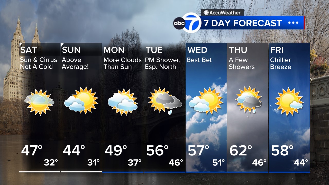
Here's a look at the 7 Day AccuWeather forecast


