Best, worst case scenarios for Wednesday storm

NEW YORK (WABC) -- While the latest guidance is converging on a forecast for a major winter storm for much the Tri-State area, there is still a range of situations that can unfold based on the track of the storm.
Best Case Scenario
The storm tracks farther east (out to sea) than currently forecast and moves more quickly, diminishing impact across the entire area.
The heaviest snow band would stay just offshore, and maximum snow amounts would only be around 6 inches, but closer to 3 inches well north and west of the city.
The storm would also be of shorter duration, further limiting snowfall amounts.
The lighter snowfall intensity would also mean slightly warmer temperatures at the surface, meaning snow would have a very tough time accumulating on streets and sidewalks. Accumulations would mainly be on grassy areas.
Wind gusts would be limited to 30 to 40 mph, diminishing the risk of power outages.
Coastal flooding could still occur, but it would probably be limited to minor splash-over at the time of high tide.
Click here for the latest alerts from the National Weather Service
Worst Case Scenario
The storm tracks closer to the coast and moves very slowly, enhancing impacts across the area.
The heaviest snow band would sit over the I-95 corridor for hours Wednesday afternoon into the evening, with snowfall rates of 1 to 2 inches per hour across the most populated sections of our viewing area.
Snow wouldn't wind down until around daybreak Thursday.
Intense snowfall would also mean colder temperatures, allowing that snow to accumulate on all surfaces, including streets and sidewalks.
Accumulations would be around a foot for much of the area, with even higher amounts possible under the heaviest snow bands.
Winds could gust to 50 mph, creating near blizzard conditions at times and widespread power outages.
Moderate coastal flooding would be common, with some shoreline roads underwater during high tide.
Keep in mind that both of these scenarios give us a significant winter storm, especially considering it'll be the first full day of spring!
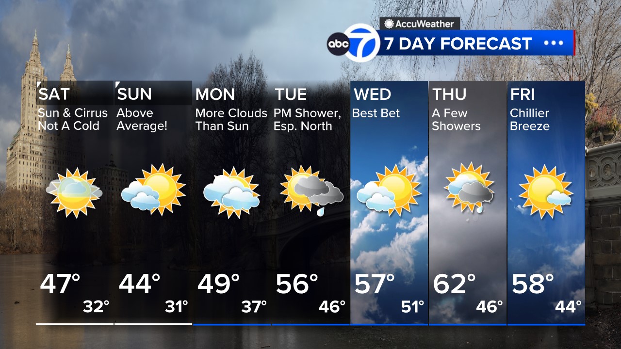
Click to watch the 7-day AccuWeather forecast and get all the weather any time at abc7NY.com/weather. For weather updates wherever you go, please download the AccuWeather app.
Here's a look at the 7 Day AccuWeather forecast


