National Weather Service confirms 4 tornadoes in New Jersey during severe storms

PARSIPPANY, New Jersey (WABC) -- Inspectors with the National Weather Service have confirmed four tornadoes in New Jersey after Tuesday's severe storms.
On Wednesday, officials confirmed one in the Stanhope and Mount Olive areas, a second in Lower Berkshire Valley and a third near Pine Brook. A fourth was later determined to have developed as a waterspout that moved to land in Cape May.
The NWS, which identified the tornadoes in North Jersey along the Interstate 80 corridor, rated all three as EF-1 tornadoes.
The tornado confirmed in Pine Brook is the same one caught on camera near Top Golf in Parsippany around 2:45 p.m. on Tuesday, roughly a mile north of the Troy Hills area. A survey of that area and to the immediate west failed to locate tornadic activity, but evidence was found to the east in Pine Brook.
Shortly after 2 p.m. Tuesday near Stanhope, close to the Morris-Sussex county border, high winds brought down trees near Interstate 80 and Route 206.
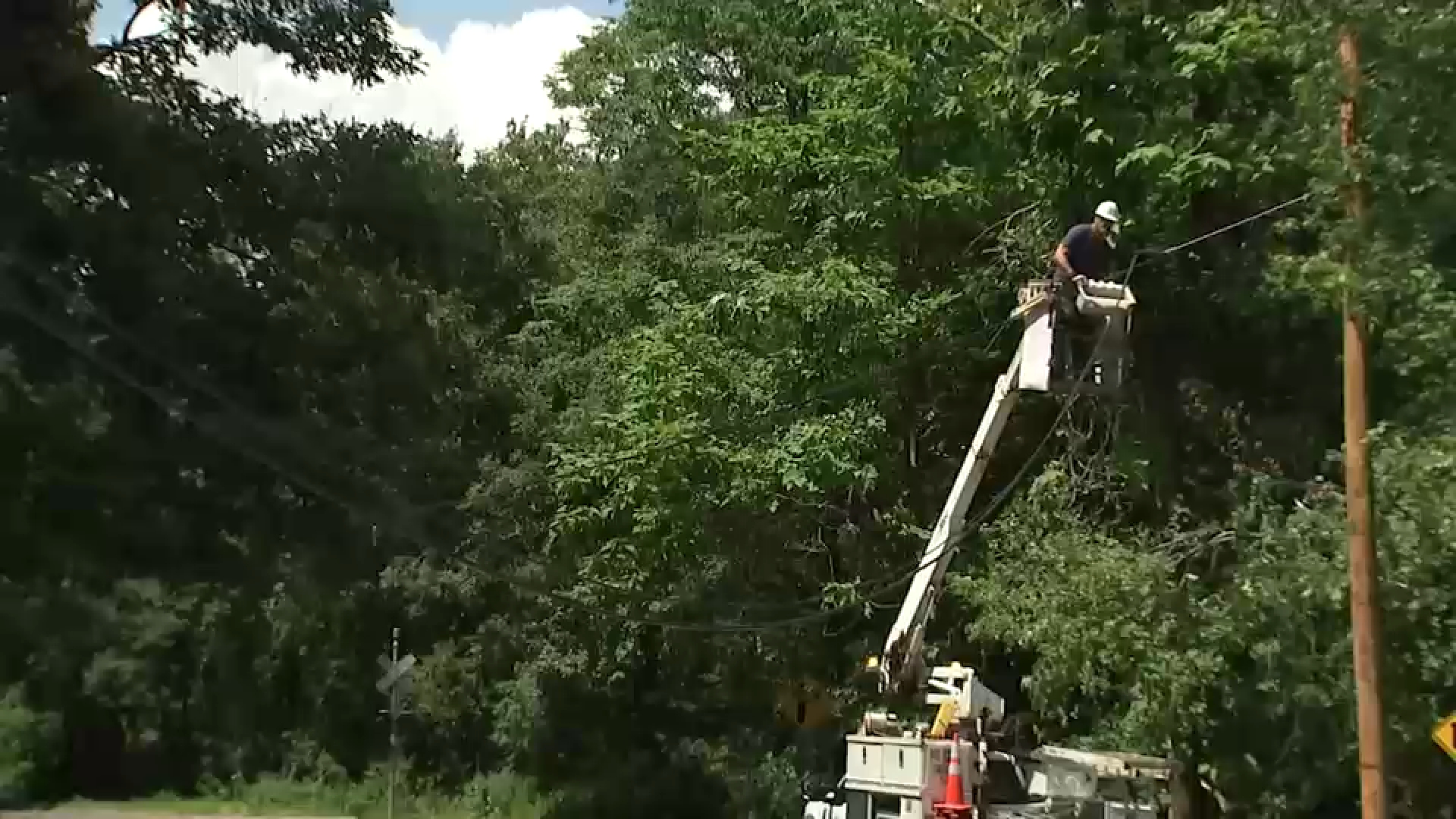
Trees and powerlines were damaged in the storm and many people remained without power Wednesday afternoon.
Residents described the tense moments as warnings appeared on their phones.
"I was getting alerts on my phone, so I went down to the building to wait for my husband," resident Sabrina Petruccelli said. "Everybody was in the hallway and the lobby because they were scared."
Morris County Office of Emergency Management Chief Jeff Paul said he was glad that the alerts kept residents updated.
He said he watched the storms out the window of their hurricane-proof 911 call center.
"During that time period we did witness outside the windows of the 911 center what we believe to be a tornado in the Parsippany area," Paul said.
As for the tornado in Cape May, the NWS on Wednesday did confirm it as an EF-0.
It began as a waterspout before it moved ashore around 6:15 p.m. Tuesday and caused a narrow path of tree damage before quickly dissipating.
----------
* Get Eyewitness News Delivered
* Download the abc7NY app for breaking news alerts
* Download our connected TV app
Submit a tip or story idea to Eyewitness News
Have a breaking news tip or an idea for a story we should cover? Send it to Eyewitness News using the form below. If attaching a video or photo, terms of use apply.