NYC flood threat: Heavy rain falls during Monday morning commute
Heavier downpours could produce localized flooding, potentially affecting Monday's commute and continuing into the afternoon.


NEW YORK CITY (WABC) -- New York City urged residents to prepare for periods of heavy rain and possible flooding on Monday.
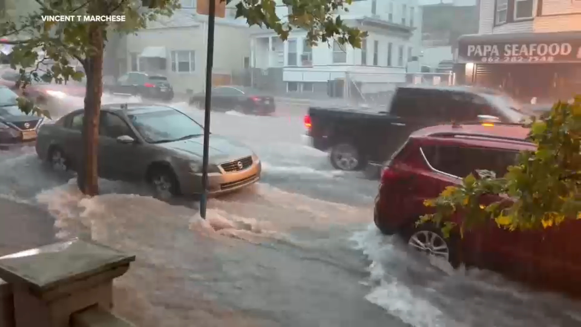
It is shaping up to be a wet and potentially stormy day across the Tri-State area, with the greatest concern centered on heavy rainfall and localized flooding.
The biggest question is where the heaviest bands of rain set up. Some locations could see only an inch or two of rainfall, while isolated areas could receive 3 to 5 inches if persistent downpours develop overhead. Urban locations, including New York City and areas along and just northwest of the I-95 corridor, face the highest flooding risk if those heavier bands move directly over them.
NEW YORK CITY
The NYC Emergency Management Department advised that periods of heavy rain could flood streets, highways, underpasses and basements.
According to the city's Emergency Management Department, agencies have cleaned catch basins and cleared street litter ahead of the storm system. Emergency officials are advising New Yorkers to limit travel during severe weather, avoid driving or walking through flooded roadways and seek shelter indoors during thunderstorms. Residents in basement apartments are urged to move to higher floors if flooding develops.
LONG ISLAND
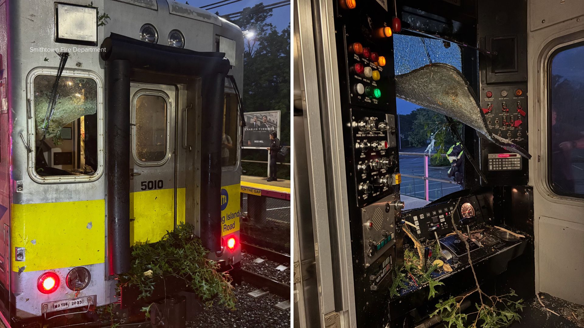
The commute was disrupted for some LIRR riders after a train stuck a downed tree across the Port Jefferson Branch in Smithtown. One person was taken to the hospital. There were delays of 15-45 minutes on the branch.
HUDSON VALLEY
Meantime in Westchester, Harlem Line service was suspended between Southeast and Katonah while crews worked to remove a tree that fell across the tracks near Purdy's.
NEW JERSEY
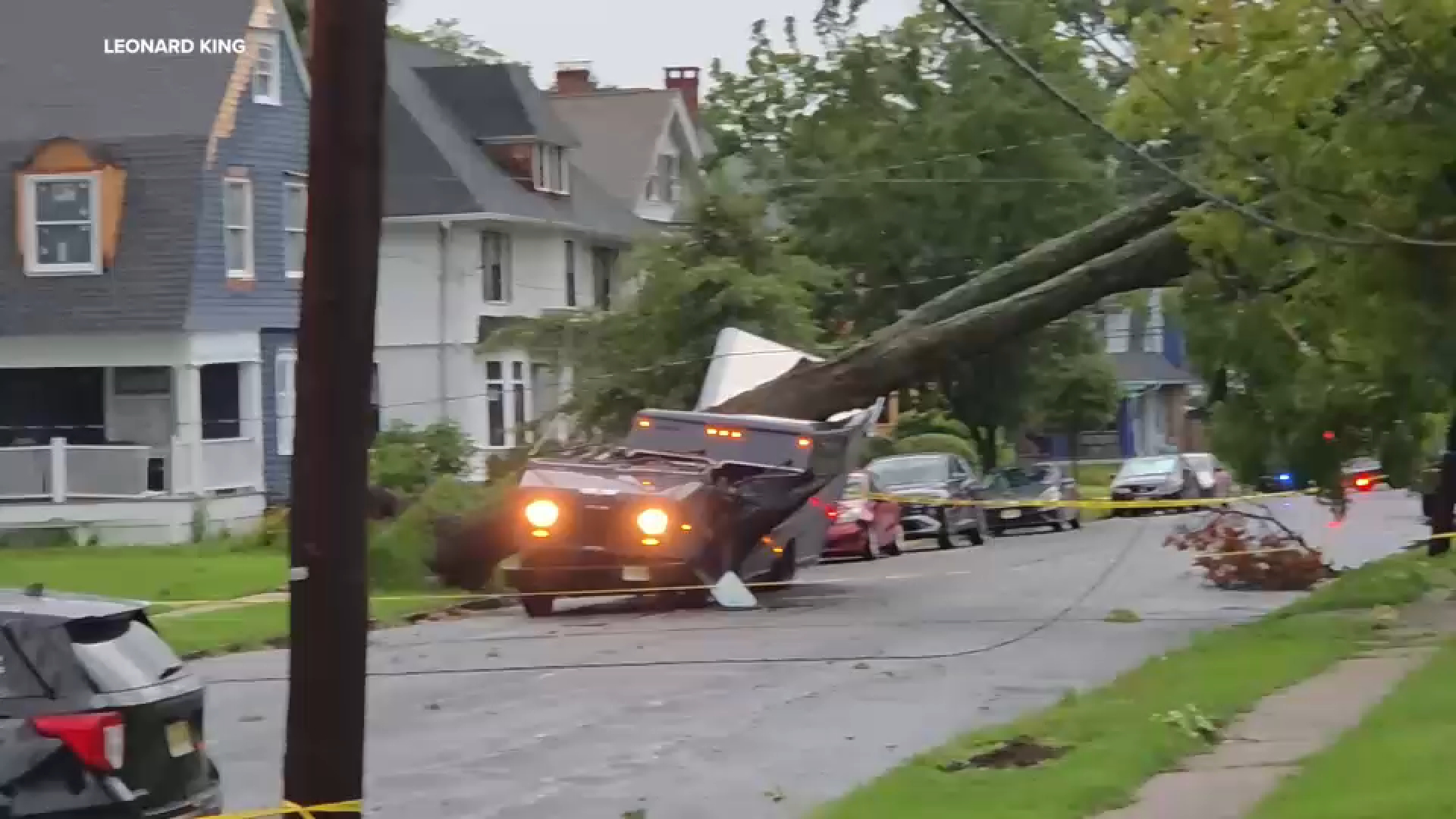
A Flood Watch has been issued for much of New Jersey through Monday evening. While flash flooding is anticipated to be the primary threat from any thunderstorms, the National Weather Service said isolated severe thunderstorms could produce localized wind damage.
Rain and storm activity should begin tapering off later in the afternoon and evening, although a lingering thunderstorm remains possible before drier air starts to move in overnight.
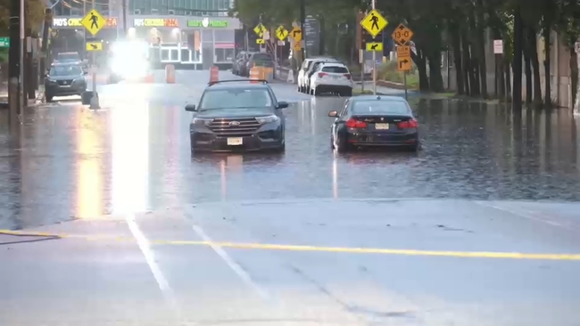
In Paterson, early Monday morning, cars were spotted stuck in a flooded roadway.
Fortunately, the drivers were able to make their way to safety.
AIR TRAVEL
Some flights were canceled or delayed due to the weather on Monday. As of 7:30 a.m.:
Kennedy -- 54 flights canceled, 8% of schedule
LaGuardia -- 36 flights canceled, 6% of schedule
Newark -- 20 flights canceled, 3% of schedule
----------
* Download the abc7NY app for breaking news alerts
Submit Weather Photos and Videos
Have weather photos or videos to share? Send to Eyewitness News using this form. Terms of use apply.