Jul 03, 2026, 7:59 PM GMT
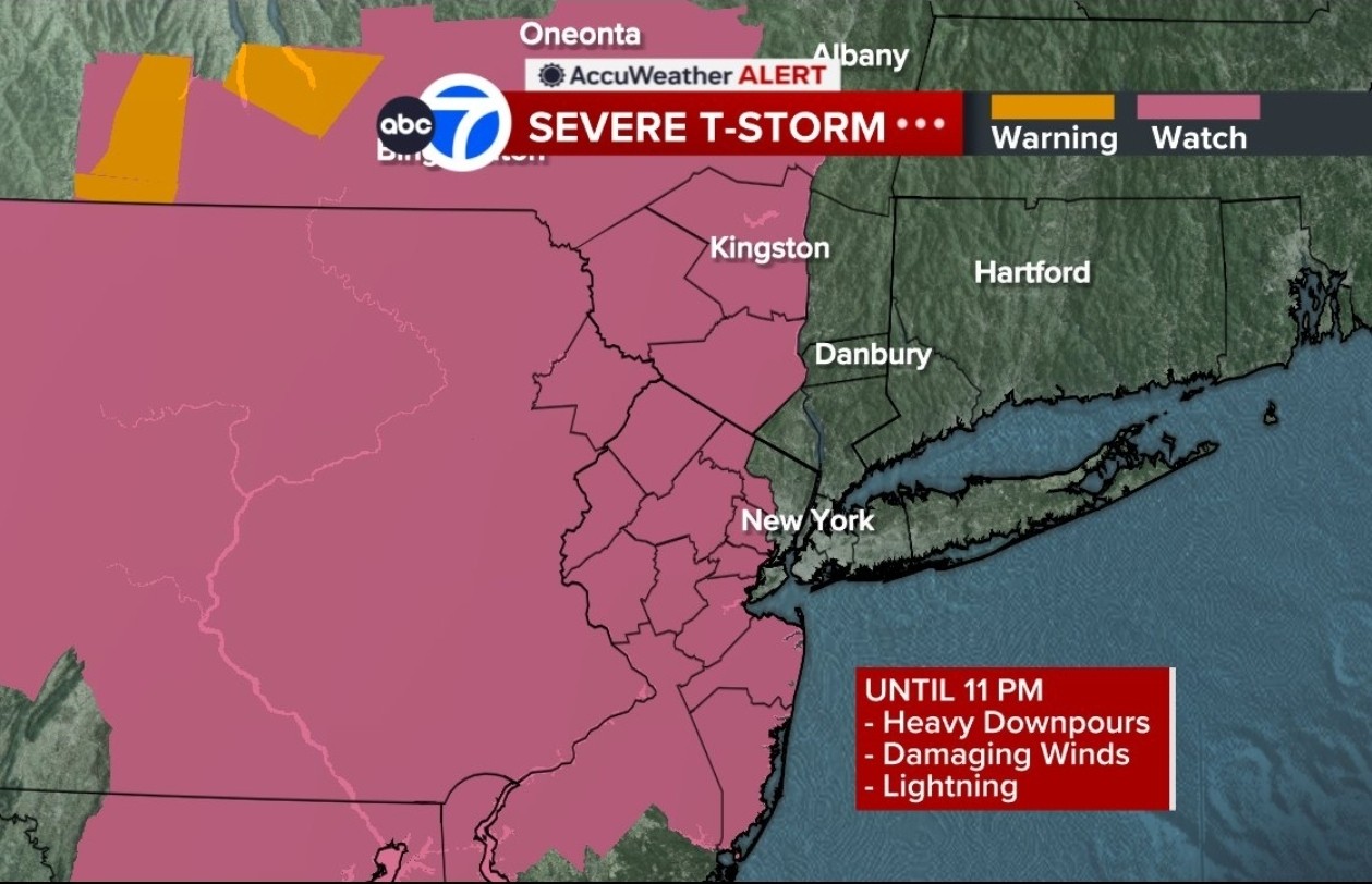
Severe Thunderstorm Watch until 11 p.m.
A severe thunderstorm watch has been issued for western parts of the Tri-State area until 11 p.m.
An extreme heat warning is in effect through Saturday for much of the Tri-State area


NEW YORK (WABC) -- Strong evening thunderstorms could wreak havoc on July 4th fireworks celebrations across the Tri-State area on the final day of a dangerous heat wave.
A Severe Thunderstorm Warning has been issued for portions New York City, the Hudson Valley, and northern New Jersey. A Severe Thunderstorm Watch is also in effect for New York City, New Jersey and portions of the Hudson Valley. Any storm has the potential to produce damaging winds, downpours and even some hail.
The timing of the storms could coincide just as fireworks kick off across the region, including New York City, which could see storms move in during the 9 p.m. and 10 p.m. hour.
The Macy's Fourth July Fireworks start time was moved up from 9:25 p.m. 9:02 p.m. as a result of the incoming storms.
The silver lining is that the storms will finally break the four-day heat wave, as temperatures fall back into the 80s on Sunday with a chance for showers developing later in the day.
More widespread showers and thunderstorms are expected Sunday night into Monday, bringing the most significant relief from the oppressive heat and humidity.
Anyone heading outdoors for holiday festivities should stay hydrated, monitor air quality conditions, and keep an eye on the weather later Saturday as storms may become heavy and dangerous in some locations.
Stick with Eyewitness News for the latest forecast and weather alerts.

A severe thunderstorm watch has been issued for western parts of the Tri-State area until 11 p.m.
NJ Transit says Northeast Corridor Line rail service is has resumed in both directions but is subject to delays after a disabled train near Metuchen.
Rail service is subject to delays of up to an hour and 30 minutes.
Northeast Corridor rail service was temporarily partially suspended but continued to operate between Metropark and Penn Station New York.
The agency is also warning that, due to extreme temperatures affecting the region, trains may need to operate at reduced speeds, which could result in delays.
Visit njtransit.com for the latest information.
Newark will once again be among the hottest cities in the Tri-State area on Friday.
Its lower elevation and intense urban construction are part of the issue.
On Thursday, residents were urged to stay indoors when Newark Liberty International Airport hit a record-shattering 104 degrees.
Toni Yates has more on how residents are coping on Friday:
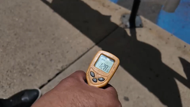

New York City is set to reach some possible record-breaking high temperatures and a lot of people are looking for ways not to have a medical issue due to this dangerous heat.
One way that the city just rolled out this year is brand new cooling vans.
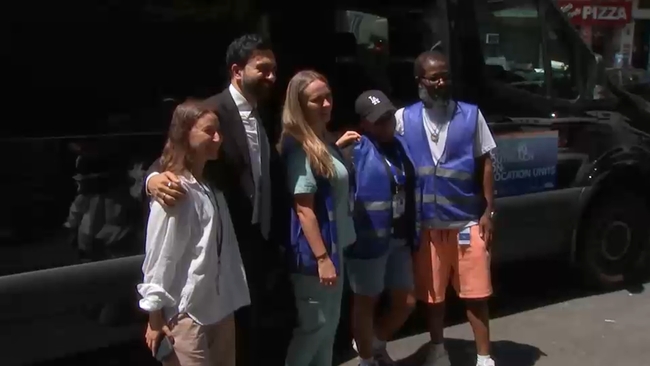
Mayor Zohran Mamdani gave Eyewitness News Reporter Phil Taitt an inside look at one of the vans to see how they work.