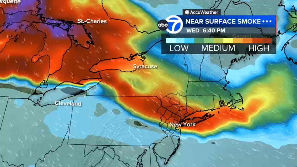
Smoke from Canadian wildfires has once again blanketed New York City and the Tri-State, creating unhealthy air quality across much of the region Saturday morning as an AccuWeather Alert remains in effect.
Air quality reached an AQI of 173 early Saturday, a level considered unhealthy for everyone - not just people with asthma or other respiratory conditions. Thick smoke and haze reduced visibility across the area, with conditions expected to worsen through the morning before gradually improving later in the day.
Shifting winds will continue to push smoke across the region through midday, with air quality deteriorating in parts of Long Island and northern suburbs before the smoke begins to thin out. Residents are encouraged to limit prolonged time outdoors, avoid strenuous activities like running or exercising outside, and keep windows closed if possible.
The improvement in air quality, however, comes with a tradeoff.
Strong to severe thunderstorms are expected to develop later Saturday afternoon and continue through the evening as a cold front moves through the region. Storms could bring flooding downpours, damaging wind gusts and a few isolated tornadoes, prompting forecasters to urge residents to stay weather-aware. New Jersey, New York City and southern Westchester are under a flood watch ahead of the storms.
The first scattered showers are expected to develop during the afternoon, with the greatest risk for severe weather between about 4 p.m. and 9 p.m. The threat could linger until around midnight before the front clears the area.