Dec 27, 2025, 11:43 PM GMT
Westchester County sees some of the heaviest snowfall totals in area
Westchester County saw some of the heaviest snow totals. The steady snowfall covered roads and reduced visibility.
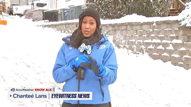
Chantee Lans reports from Yonkers:
Central Park saw 4.3 inches of snow, within the forecast range of 4 to 8 inches. But ice suppressed totals across many areas.


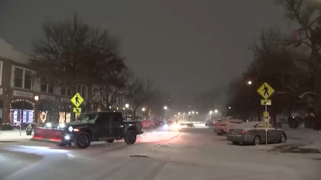
NEW YORK (WABC) -- The most significant winter storm to hit the Tri-State area in almost four years ended on Saturday, with the heaviest snowfall north and east of New York City.
With the storm a memory, the concern now shifts to slick, icy roads and sidewalks, as temperatures will stay below freezing through early Sunday. A Winter Weather Advisory has been put into effect for ice north and west of New York City.
"Motorists and pedestrians should use caution. Reduce speed, allow extra time, and be prepared for areas of slippery travel Saturday evening through midday Sunday," the weather service said.
The snowstorm was notable for Central Park, which recorded 4.3 inches of snow, the highest amount in the park since the storm of Jan. 28-29, 2022, which dropped over 8 inches.
Higher totals were kept down in New Jersey due to ice; some areas of the Hudson Valley, Long Island, and Connecticut, however, saw more substantial snowfall.
With the storm a memory, the concern now shifts to slick, icy roads, as temperatures will stay below freezing through early Sunday
Some of the more impressive numbers were in Connecticut, where the expected heavier snow bands set in. New Fairfield came in with 9.1 inches, Fairfield with 7 inches, Bridgeport at 7.1, and Newtown with 6 inches.
Parts of Long Island saw over half a foot, with Babylon and Orient both recording 7.5 inches, Mattituck coming in at 7 inches, North Patchogue getting 6.8 inches, 6.6 coming down at Islip, and Hampton Bays reporting 6.5.
The Hudson Valley was also in the snow sweet spot, with Lake Carmel at 6.5 inches, Armonk at 6.4 inches, Peekskill at 6.1 inches and Port Chester at 5.9.
The intrusion of sleet reduced totals in other areas more than expected, holding down numbers in New York City and points south and west. New York City numbers included 4.3 inches in Fordham in the Bronx, and LaGuardia and JFK both came in at 4.1 inches. The story was the same in New Jersey, with lower amounts, including 4 inches in Harrison, 3 inches in Springfield and 2.5 inches in Newark.
The worst of the storm began Friday evening, but by dawn, lingering light snow was tapering off and most storm warnings had expired except in areas north and west where slick travel was a concern because of snowy and icy roads.
RELATED | Click here for the latest AccuWeather forecast
Click here for the latest advisories, watches and warnings from the National Weather Service
The storm was an Alberta Clipper that had been infused with energy from the Pacific storms delivering an atmospheric river of rain to the West Coast. As this system crashed into the cold air in our area, it squeezed out a lot of snow in a hurry for parts of the region. Meteorologist Jeff Smith described the system as an "Alberta Clipper on steroids."
Sunday will be ice cold, then clouds will roll in. The daylight hours will be dry, but some freezing rain will move in Sunday evening, especially north and west, which could create another travel issue. Monday will bring a brief warmup before temperatures plummet again for the remainder of the week.
RELATED | Click here for the latest advisories, watches and warnings from the National Weather Service
Westchester County saw some of the heaviest snow totals. The steady snowfall covered roads and reduced visibility.
Chantee Lans reports from Yonkers:
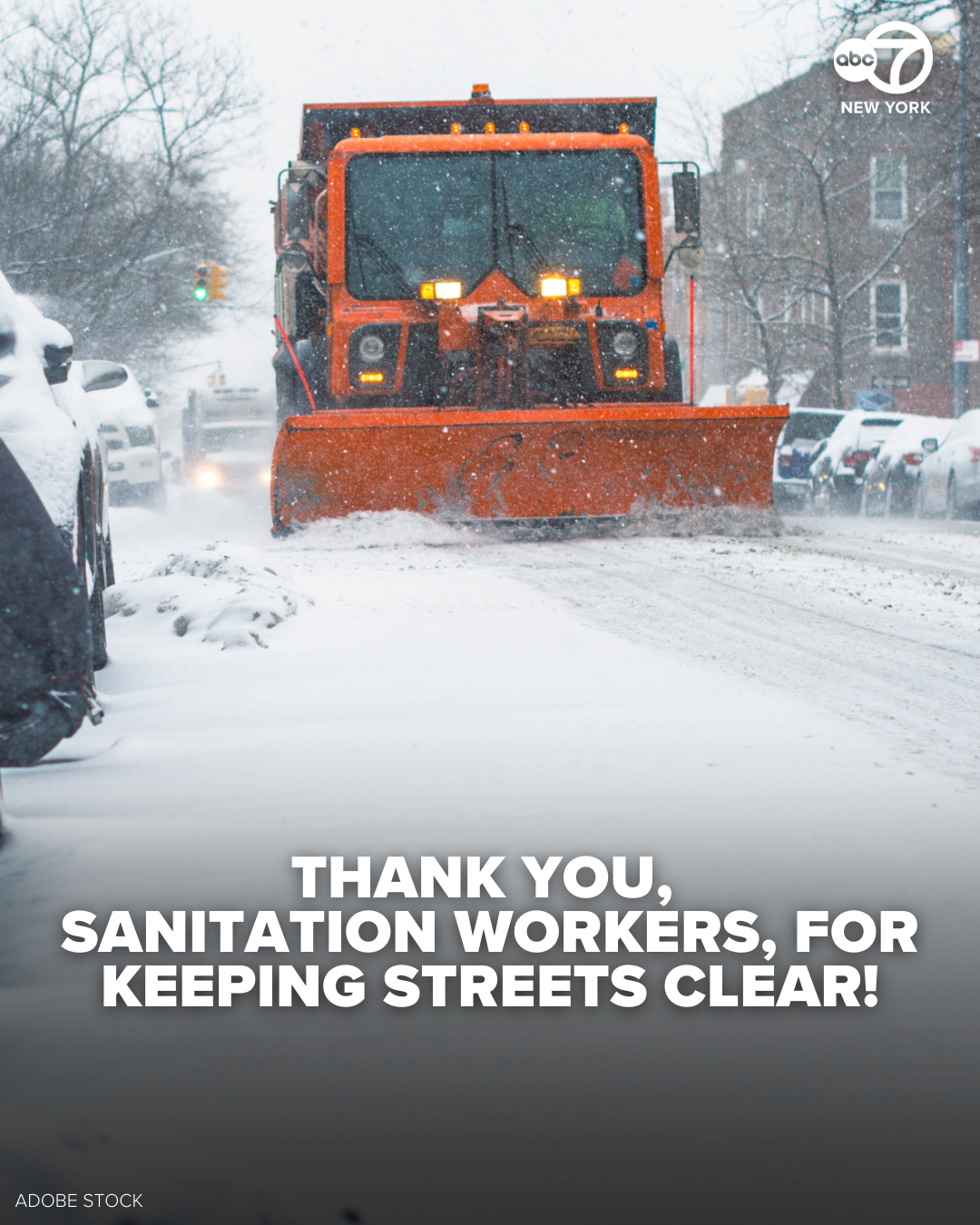
You may be snug at home, but sanitation workers are on the streets with snow plows, salt and garbage trucks.
"We have over 2,700 sanitation workers, and they'll be working over 12 hour shifts," Javier Lojan of the DSNY told Eyewitness News.
"By this time, every street in New York City will have received at least one plow and salt pass by our colleagues at @NYCSanitation," The NYC Department of Emergency Management wrote on social media.
700 salt spreaders will continue to work through the day.
While DSNY clears streets and bike lanes, property owners are responsible for clearing the sidewalks bounding their property.
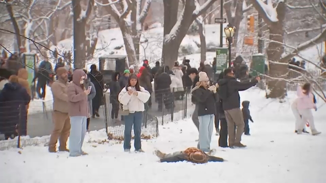
Our whole team continues to cover the snow storm as flurries fly here and there.
Crystal Cranmore is in Bayside, Queens as crews work to cleanup snowy, icy roads.
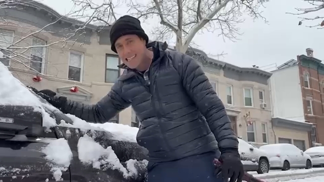
Here's Mike Marza in Brooklyn, along with some special reporters.
Plus, Chanteé Lans has more from Westchester County, which saw some of the heaviest snowfall in the Tri-State region.
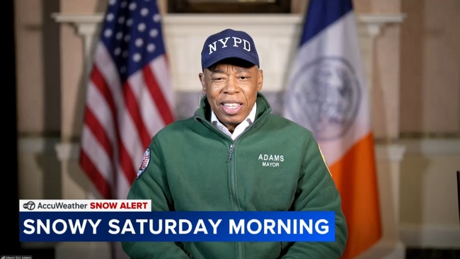
Mayor Eric Adams spoke with Eyewitness News about the overnight snowstorm and shared some advice for folks at home.