AccuWeather Alert: Humid with storms
AccuWeather forecast for NYC, New York, New Jersey and Connecticut


NEW YORK (WABC) -- Tuesday is an AccuWeather Alert Day as the region faces the potential for strong to severe thunderstorms.
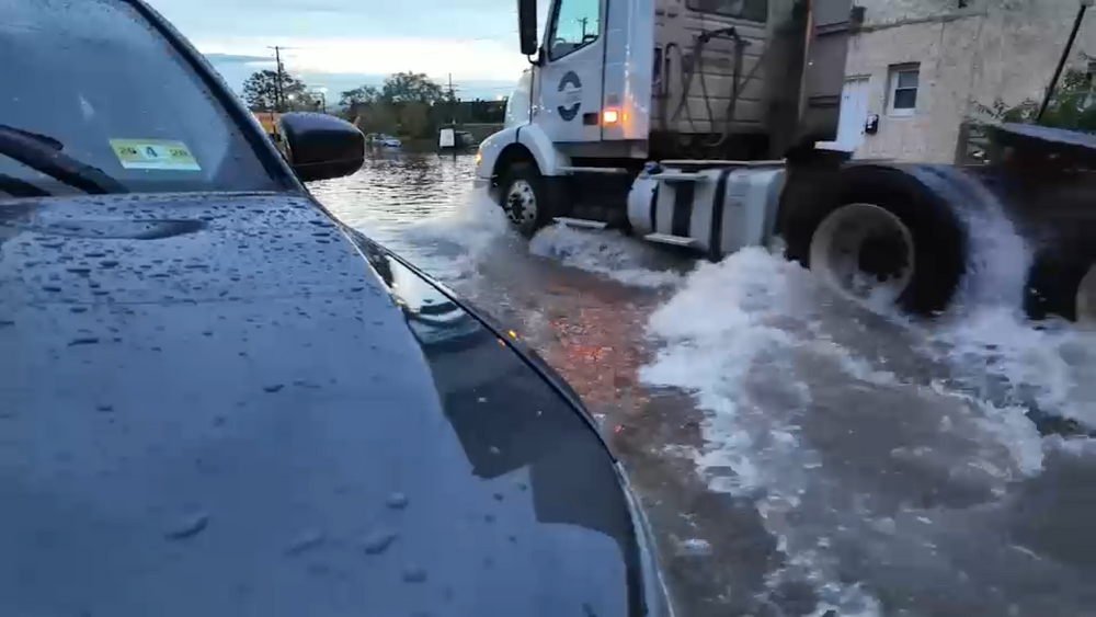
While there will be periods of clouds and humidity, the greatest concern will be during the afternoon and evening when showers and thunderstorms could intensify. The primary threats include heavy rainfall capable of causing localized flooding and damaging wind gusts.
There is also a small risk of hail and even an isolated tornado, particularly north and west of New York City.
The Storm Prediction Center has placed those areas under a Level 2 out of 5 severe weather risk. The threat of strong storms may continue through Tuesday evening, with flash flooding and gusty winds remaining the main concerns. Temperatures Tuesday night will settle near 70 degrees.
Conditions turn somewhat quieter on Wednesday, with mainly cloudy skies and highs in the middle to upper 70s. A few isolated showers are possible, but widespread rain is not expected.
Another round of unsettled weather could arrive Thursday as the chance for strong to severe thunderstorms returns. Similar to Tuesday, it will not be a washout, but storms that develop could become intense. High temperatures will reach the mid-80s.
The weather improves significantly by Friday as humidity levels begin to drop. Even better news is on the way for the Labor Day weekend, with abundant sunshine, comfortable humidity levels, and temperatures in the upper 70s expected through the holiday. It is shaping up to be an excellent stretch of weather for outdoor plans across the Tri-State Area.
THE 7-DAY FORECAST
Tuesday
AccuWeather Alert: Humid with storms. High 83
Wednesday
A shower in spots. High 77
Thursday
A thunderstorm around. High 84
Friday
Less humid. High 81
Saturday
Not as warm. High 77
Sunday
Mostly sunny. High 78
Monday
Sunshine and dry. High 78


Follow the Weather or Not podcast with Lee Goldberg
Please fill out the form below to submit weather photos and videos.
MORE ACCUWEATHER RESOURCES
Check AccuTrack Radar
Air Quality Tracker
NWS Advisories, Watches and Warnings
School closings and delays
For weather updates wherever you go, please download the AccuWeather app.
Follow chief meteorologist Lee Goldberg, Sam Champion, meteorologist Brittany Bell, meteorologist Jeff Smith, and meteorologist Dani Beckstrom on social media.