NYC, Tri-State brace for heavy rain, flash flooding through Wednesday | Live Updates

WABC logo
Last updated: Tuesday, July 28, 2026 8:21PM GMT
ABC7 New York 24/7 Eyewitness News Stream
Stream New York's #1 news - AccuWeather - original content 24/7

NEW YORK (WABC) -- Heavy rain and dangerous flash flooding remain the biggest concern tonight as a slow-moving storm system pushes across the Tri-State area.

Downpours capable of producing 2 to 3 inches of rain per hour are expected through the evening, with some locations, especially north and west of New York City, at risk of receiving as much as 5 to 6 inches of rain. Flash flooding is likely, and motorists are urged to avoid travel during the worst of the storm.

The heaviest rain will gradually shift north and east of New York City overnight, but flooding concerns will continue into the pre-dawn hours of Wednesday. Standing water on roads and rising waterways could create lingering issues for the morning commute.

Check here for the latest watches and warnings from the National Weather Service

An AccuWeather Alert remains in effect Wednesday morning due to the potential for ongoing flooding problems and a few lingering showers, especially north and east of the city. Conditions should slowly improve through the day, with clouds breaking for some sunshine and only a chance of a spotty shower or thunderstorm during the afternoon. Widespread heavy rain is not expected after the morning hours.

Wednesday's forecast is more about dealing with the aftermath of overnight flooding than new severe weather. Travelers should allow extra time for the morning commute and remain alert for any flooded roadways

Join Eyewitness News starting at 4 a.m. Wednesday for live coverage of the storms. Watch on TV or right here.

Check AccuTrack Radar

Please fill out the form below to submit weather photos and videos.


Terms of use apply.

4:23 PM GMT

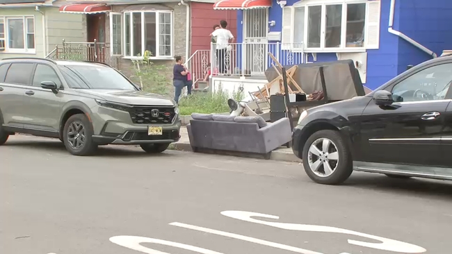
Queens residents prepare for another round of flooding

Parts of Queens were also hit especially hard by all of the flooding the past few weeks.

Now, residents are preparing for another round on Tuesday.

Eyewitness News reporter CeFaan Kim speaks to residents in Fresh Meadows.

CeFaan Kim reports from Queens.
4:10 PM GMT

Storm timeline and week ahead

  • Flooding downpours are possible between 1 and 11 p.m.
  • Highs only reach the mid 70s

    Rain won't be as widespread Wednesday, but scattered storms continue

    A few showers will linger Thursday, high near 75

    We'll see more sun Friday with a high of 83

    This weekend is mainly dry; just a late-day shower is possible Sunday. Highs reach the lower 80s

    Monday, a spotty shower is possible; temps stay in the lower 80s

    3:51 PM GMT

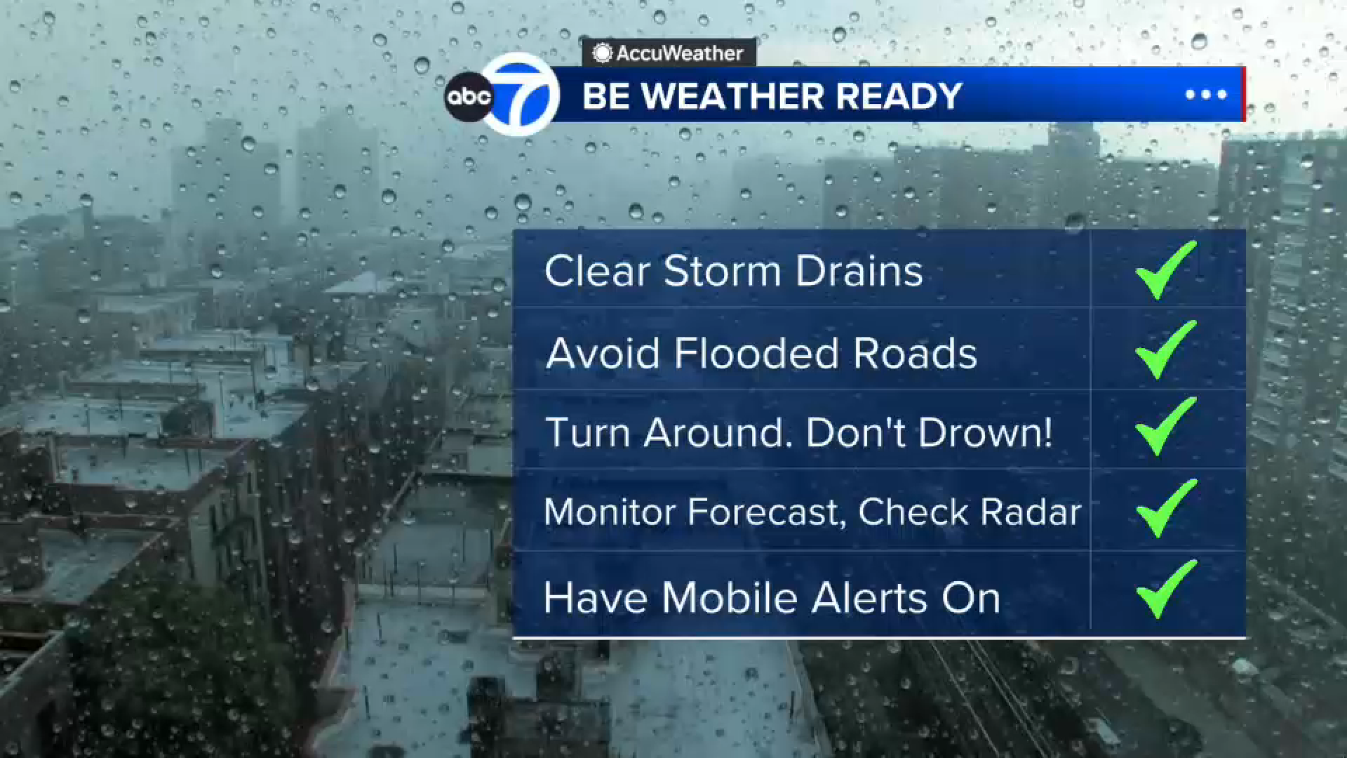
    Tips on dealing with flood dangers

    If you happen upon a flooded road during these storms, do not panic. Here are simple steps you can take to stay safe:

    WABC logo
    2:18 PM GMT

    NYC Building Dept. advises precautions ahead of severe weather

    The New York City Department of Buildings advised property owners, contractors and others to take precautionary measures ahead of approaching storms.

    "The New York City area may experience severe weather including heavy rain, thunderstorms, and potential wind gusts of up to 55 miles per hour, starting today, Tuesday, July 28, and continuing later into the week. The heavy rain forecasted for the city could cause hazardous flash flooding. Accordingly, the Department of Buildings is reminding all builders, contractors, crane operators, and property owners to secure their construction sites, buildings, and equipment."

    Recommended precautions include securing loose material and equipment at construction sites; securing scaffolding and sidewalk sheds; and storing loose tools, oil cans and other items in a secure toolbox.