12:39 AM GMT
AccuWeather Alert: Jeff Smith has an update on Friday night's severe storms
Meteorologist Jeff Smith provides an update on the severe thunderstorms bringing flooding downpours across the Tri-State.
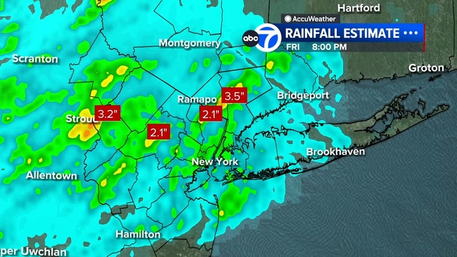


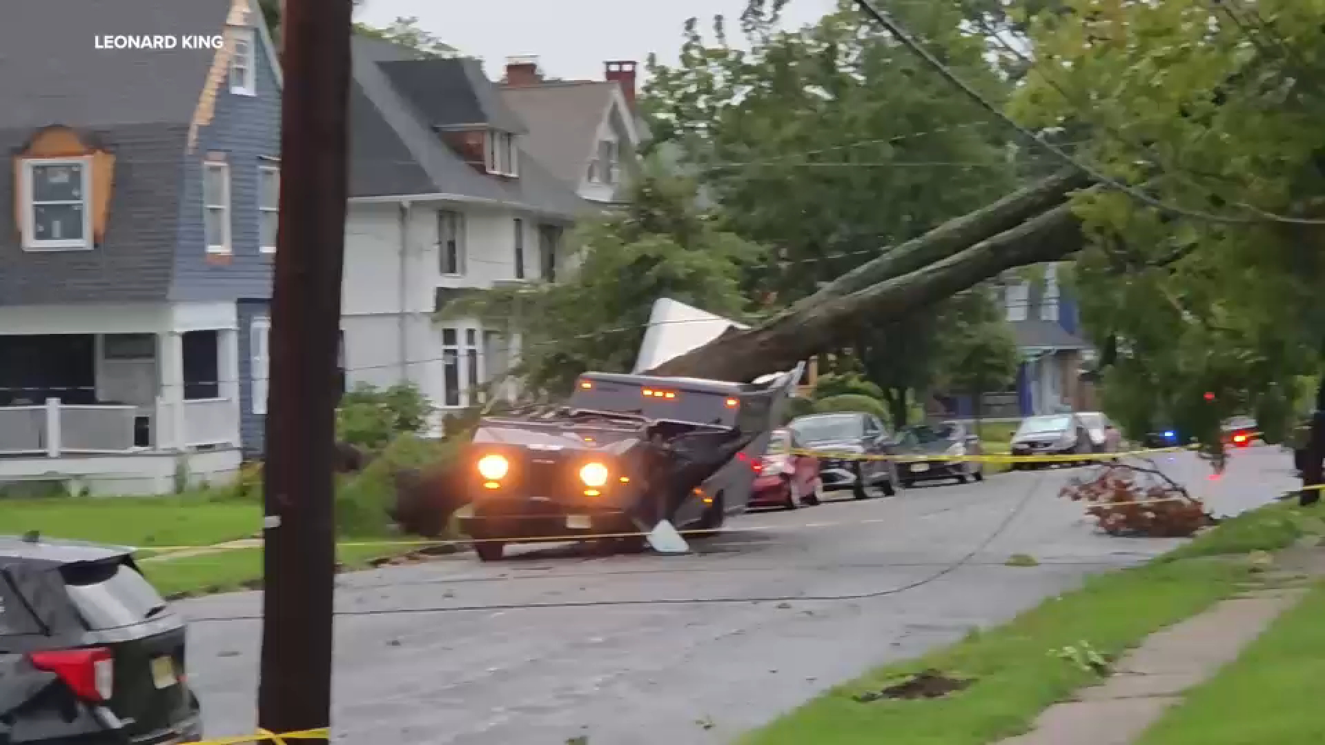
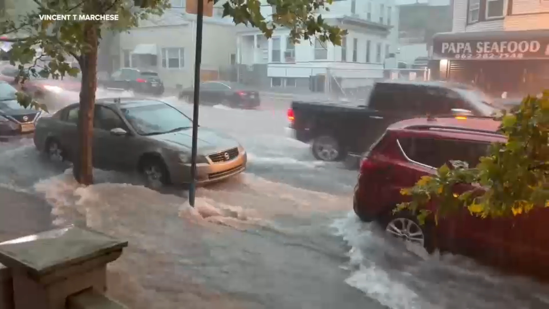
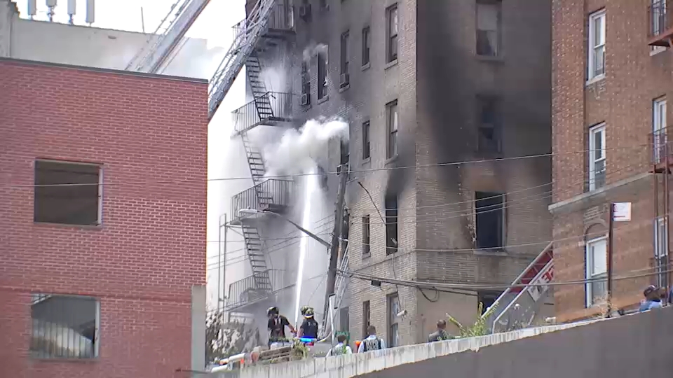
NEW YORK (WABC) -- Severe thunderstorms swept through New York City and the Tri-State area, triggering heavy downpours, flash flooding and downed wires and trees on Friday evening.
The National Weather Service issued numerous severe thunderstorm and flash flood warnings for the area, and a thunderstorm watch that was in effect on Friday has since expired.
Check here for the latest alerts from the National Weather Service.
While storms moved out Friday night, the heat will will remain intense on Saturday, with a heat advisory continuing through the day. Afternoon temperatures will climb to near 90 degrees, but high humidity levels will push heat index values into the mid-90s to around 100 degrees.
The most extreme heat index readings are expected across interior New Jersey and portions of Monmouth and Ocean counties.
Please fill out the form below to submit weather photos and videos.
Meteorologist Jeff Smith provides an update on the severe thunderstorms bringing flooding downpours across the Tri-State.
A Severe Thunderstorm Watch that was issued for the Tri-State area until 9 p.m. has been allowed to expire.
Click here for the latest advisories, watches and warnings from the National Weather Service
A Flash Flood Warning remains in effect until 9 p.m. for New York City, southern Westchester counties in New York, and Bergen, Essex, Hudson, Passaic and Union counties in New Jersey.
The National Weather Service has issued a Severe Thunderstorm Warning for parts of New York City, including Queens, the Bronx and Brooklyn, and parts of the Tri-State.
The impacted portions of the Tri-State include Fairfield County in Connecticut, and southern Westchester County and Nassau County in New York.