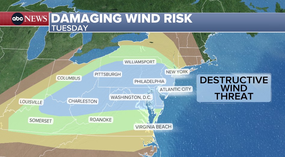
NEW YORK (WABC) -- New York City and the Tri-State Area is under an AccuWeather Alert Tuesday as two rounds of storm bring heavy rain, damaging winds, flooding and even the potential of an isolated tornado.
The first round of scattered storms developed this morning, mainly north and west of New York City, with some activity reaching closer to the city around midday. There are reports of flooding already in northern New Jersey.
After a break in the afternoon, a second and stronger round of storms is expected between 5 p.m. and 11 p.m. Forecasters say that system could produce damaging winds, hail, flooding downpours and an isolated tornado.
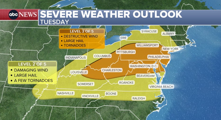
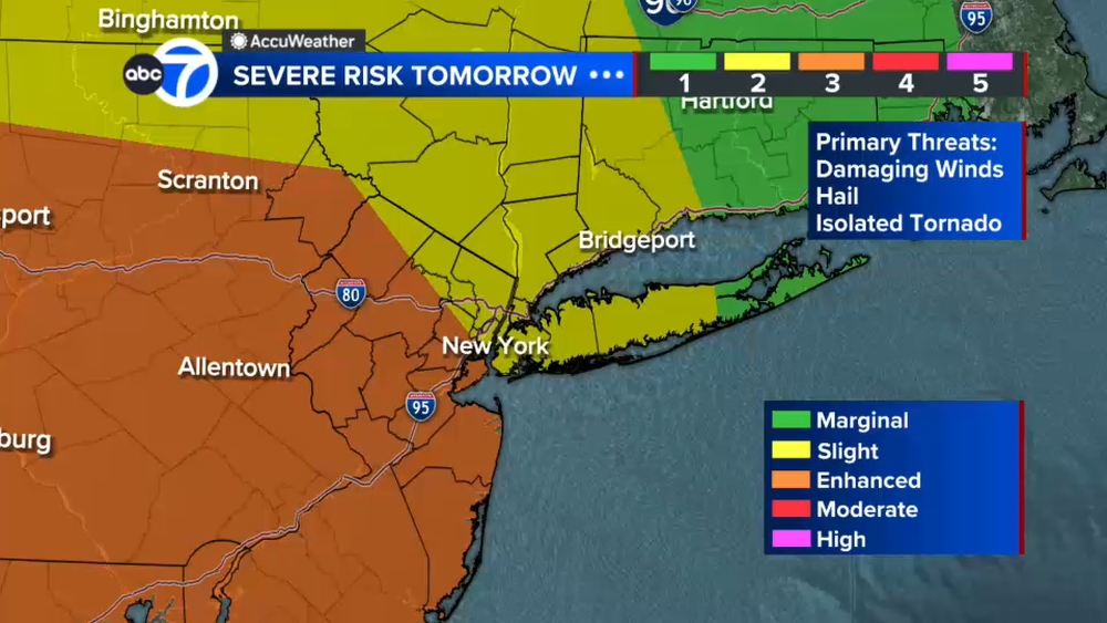
New York City and areas north and west are under a Level 2 out of 5 risk for severe weather, while most of New Jersey is under a Level 3 out of 5 risk.
A Flood Watch is in effect for most of New Jersey and New York City. Forecasters say 1 to 2 inches of rain are possible, with isolated higher totals that could lead to scattered flash flooding.
Stay with ABC 7 and Eyewitness News for the latest updates.