Jul 21, 2026, 8:33 PM GMT
Man stranded on car in Morris Plains
A man was spotted stranded on his car in Morris Plains, New Jersey, as strong storms hit the region.
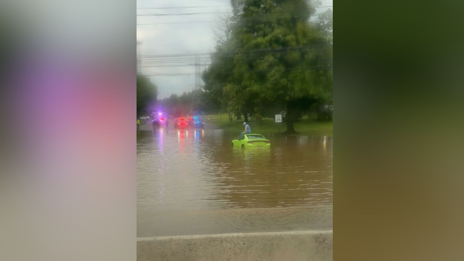
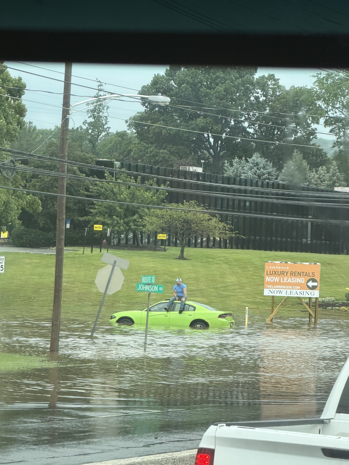


NEW YORK (WABC) -- Rounds of severe storms triggered downpours, flash flooding, damaging winds and possible tornadoes on Tuesday, just days after storms walloped New York City and the Tri-State area over the weekend.
The second dose of dangerous storms led to tornado warnings and watches being issued by the National Weather Service, which have since expired as the severe weather conditions move offshore.
Parts of New Jersey were particularly hard-hit by Tuesday's storms, including Stanhope, where a possible tornado was spotted.
A video posted on social media also showed a funnel cloud on the ground at a golf center in Parsippany, about one mile north of the Troy Hills area.
NWS will survey those two locations on Wednesday for possible tornadoes.
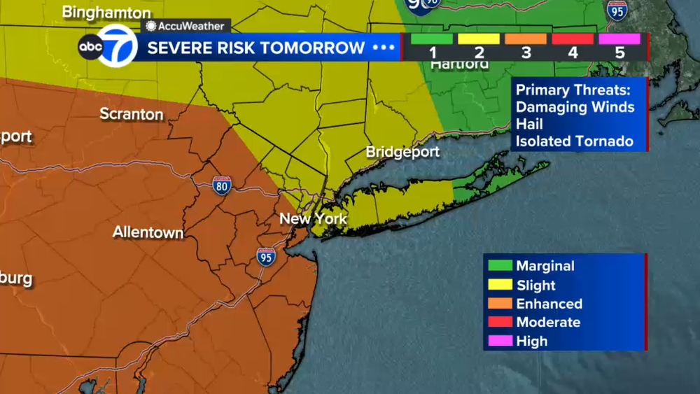
And while some afternoon storms on Wednesday won't be as severe, the NWS has put New York City and much of the Tri-State area at a marginal risk (1 out of 5) for for severe thunderstorms with the primary threat being damaging winds.
Stay with ABC 7 and Eyewitness News for the latest updates.
A man was spotted stranded on his car in Morris Plains, New Jersey, as strong storms hit the region.
A Flash Flood Warning has been issued for Brooklyn, Manhattan and Queens in New York City; and Hudson County in New Jersey; until 7:15 p.m.
It's in effect for Bergen County in New Jersey, Westchester County in New York and the Bronx until 6:45 p.m.
The Tornado Warnings issued for New Jersey have been allowed to expire at 3:45 p.m.
Have weather photos or video to share with Eyewitness News?
Please fill out the form below to submit.
By filling out the form, you confirm that you took the image/video and are its copyright owner; or that you are the copyright owner's authorized agent; or that you own, purchased or otherwise legally obtained the rights to the image/video. In addition, you confirm that you have all of the necessary rights and permissions to grant us this license for its use.