Jul 21, 2026, 10:02 PM GMT
Gov. Mikie Sherrill weighs in on dangerous storms, reports of tornadoes in NJ

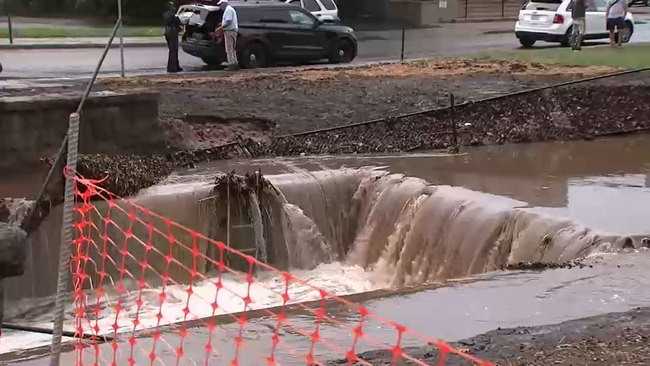
NEW YORK (WABC) -- Rounds of severe storms triggered downpours, flash flooding, damaging winds and possible tornadoes on Tuesday, just days after storms walloped New York City and the Tri-State area over the weekend.
The second dose of dangerous storms led to tornado warnings and watches being issued by the National Weather Service, which have since expired as the severe weather conditions move offshore.
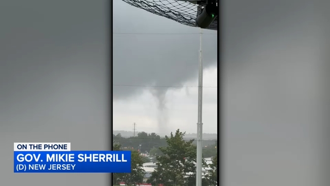
Parts of New Jersey were particularly hard-hit by Tuesday's storms, including Stanhope, where a possible tornado was spotted.
A video posted on social media also showed a funnel cloud on the ground at a golf center in Parsippany, about one mile north of the Troy Hills area.
NWS will survey those two locations on Wednesday for possible tornadoes.
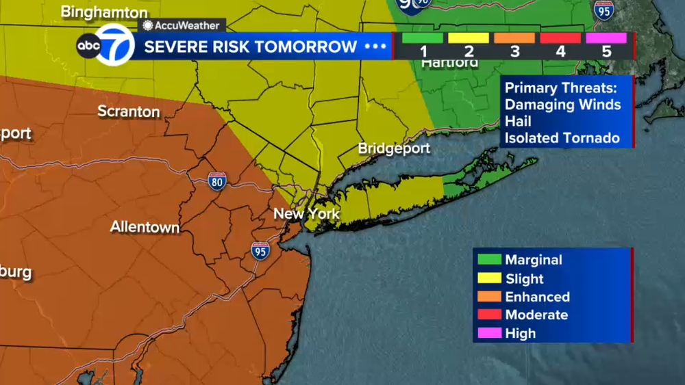
And while some afternoon storms on Wednesday won't be as severe, the NWS has put New York City and much of the Tri-State area at a marginal risk (1 out of 5) for for severe thunderstorms with the primary threat being damaging winds.
Stay with ABC 7 and Eyewitness News for the latest updates.
Transit Delays
North Jersey Coast Line rail service is subject to up to 30-minute delays in both directions due to signal issues between Long Branch and Red Bank.
Pascack Valley Line rail service is subject to up to 30-minute delays in both directions due to multiple crossing gates failing as a result of weather-related conditions.
River Line service is suspended in both directions between Waterfront Entertainment Center and Walter Rand Transportation Center due to flooding in Camden. River Line service will be suspended between Waterfront Entertainment Center and Trenton, as of 6:20 PM, out of an abundance of caution, based on the National Weather Service forecast of a tornado watch. The last northbound departure from Waterfront Entertainment Center is 5:13 PM, arriving at Trenton at 6:20 PM. The last southbound departure from Trenton is 5:42 PM, scheduled to arrive at Waterfront Entertainment Center at 6:49 PM.
Ground Stops
EWR and LGA have ground stops in place until 7:30 p.m.
Power Outages
New Jersey: 3,517 customers without power
Top three counties with the most outages:
Passaic County 1,574
Morris County 1,090
Bergen County 292
New York: 8,140 customers without power
Top two counties with the most outages:
Westchester County 2,082
Nassau County 589
The National Weather Service expects to survey two locations in New Jersey on Wednesday for possible tornadoes.
At 2:10 p.m., trained a weather spotter witnessed a tornado on the ground at Interstate 80 and Route 206, near Mount Olive, Morris/Stanhope, Sussex counties border.
At 2:45 p.m., video posted on social media showed a funnel cloud on the ground at a golf center in Parsippany, about one mile north of the Troy Hills area.