Jul 21, 2026, 10:49 PM GMT
Live
Severe storms trigger flash flooding, possible tornadoes across Tri-State | Live updates

Last updated: Wednesday, July 22, 2026 3:07AM GMT

NEW YORK (WABC) -- Rounds of severe storms triggered downpours, flash flooding, damaging winds and possible tornadoes on Tuesday, just days after storms walloped New York City and the Tri-State area over the weekend.
The second dose of dangerous storms led to tornado warnings and watches being issued by the National Weather Service, which have since expired as the severe weather conditions move offshore.
RELATED | Watches, warnings and advisories from the National Weather Service
Parts of New Jersey were particularly hard-hit by Tuesday's storms, including Stanhope, where a possible tornado was spotted.
A video posted on social media also showed a funnel cloud on the ground at a golf center in Parsippany, about one mile north of the Troy Hills area.
NWS will survey those two locations on Wednesday for possible tornadoes.
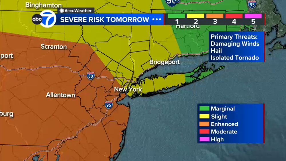
And while some afternoon storms on Wednesday won't be as severe, the NWS has put New York City and much of the Tri-State area at a marginal risk (1 out of 5) for for severe thunderstorms with the primary threat being damaging winds.
Stay with ABC 7 and Eyewitness News for the latest updates.
Key Headlines
- Jul 21, 2026, 7:44 PM GMT
- Jul 21, 2026, 6:28 PM GMT
- Jul 21, 2026, 6:32 PM GMT
Here's how the news is developing.
Jul 21, 2026, 10:31 PM GMT
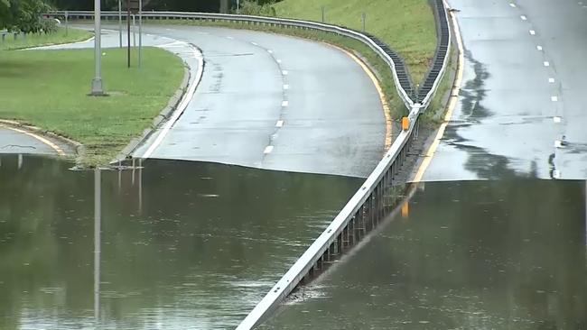
Flooding swallows portion of Bronx River Parkway in Bronxville
Eyewitness News reporter reports from Bronxville, where a portion of the Bronx River Parkway was swallowed by flooding.
A car was also completely submerged by the flooding in the section of the parkway.

Jul 21, 2026, 10:22 PM GMT
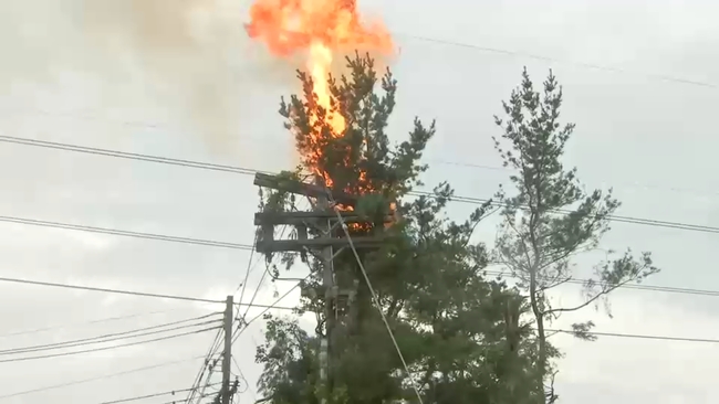
Tree catches fire after falling on powerline in Stanhope, New Jersey
New Jersey reporter Toni Yates is in Stanhope, New Jersey, where a possible tornado led to damage and brought down trees.
Video shows one of those fallen trees catching on fire after coming down on a powerline.

Jul 21, 2026, 10:13 PM GMT
MTA deploys crews as storms sweep through NYC
MTA's preparations ahead of Tuesday afternoon's storms have so far kept flooding out of the subway stations.
N.J. Burkett has the latest on weather conditions in New York City, where a flash flood warning remains in effect until 7:15 p.m.