AccuWeather Alert: Hot July 4th, PM storms
AccuWeather forecast for NYC, New York, New Jersey and Connecticut


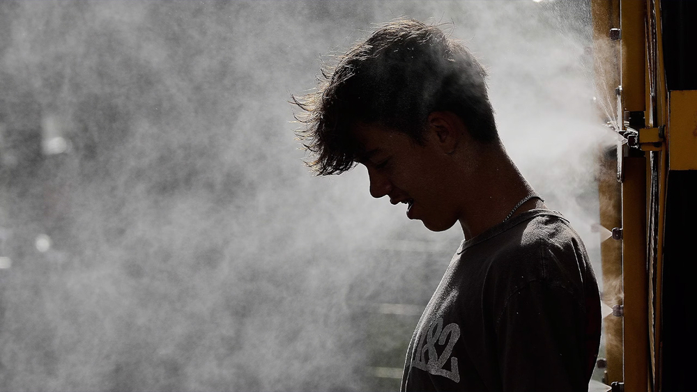
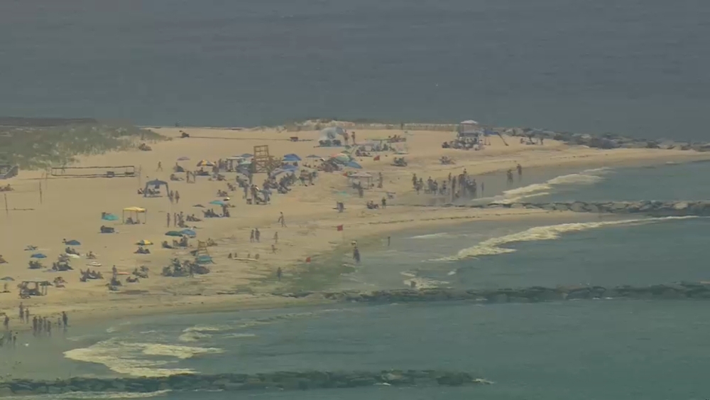
NEW YORK (WABC) -- We head into the Fourth of July weekend under an official heat wave, with Friday marking the third consecutive day of temperatures above 90 degrees.
Some locations pushed close to 100 degrees, and New York City narrowly missed the century mark for the second straight day. Even so, conditions will continue to feel hotter than 100 degrees through Independence Day, making it the hottest Fourth of July since 2010. The record for the warmest July 4 in New York City is 102 degrees, set in 1949.
The day begins with sunshine, providing favorable conditions for the arrival of the tall ships during the morning hours. However, scattered heavy thunderstorms could develop during the afternoon and evening. As temperatures ease back through the 80s later in the day, humidity will remain high, creating steam-bath-like conditions. Anyone planning to attend fireworks displays is urged to have a safety plan in place should thunderstorms move into the area.
An extreme heat warning remains in effect through Saturday as heat index values climb above 100 degrees. Saturday's high is expected to reach 96 degrees, with humidity making it feel between 100 and 105 degrees.
The pattern turns more unsettled as the second half of the holiday weekend arrives. Sunday will feature a mix of clouds and sunshine with the possibility of an afternoon shower. More widespread showers and thunderstorms are expected Sunday night and continue into Monday, when some storms could produce flooding downpours. Showers may linger into Tuesday as temperatures settle into the 70s. Conditions gradually improve from Wednesday through Friday of next week, with temperatures beginning a modest climb but without a return to extreme heat.
Forecasters say the most significant relief from the heat will arrive with the showers and thunderstorms Sunday night into Monday, bringing an end to the holiday heat wave and ushering in a more comfortable start to the new week.
LATEST ACCUWEATHER FORECAST
THE 7-DAY FORECAST
Saturday
AccuWeather Alert: Hot holiday, PM storms. High 96
Sunday
PM shower, wetter at night. High 84
Monday
Showers and storms. High 77
Tuesday
Lingering showers. High 77
Wednesday
Nice and normal. High 82
Thursday
Partly sunny and very warm. High 88
Friday
Warm and humid. High 87

Follow the Weather or Not podcast with Lee Goldberg
Please fill out the form below to submit weather photos and videos.
MORE ACCUWEATHER RESOURCES
Check AccuTrack Radar
Air Quality Tracker
NWS Advisories, Watches and Warnings
School closings and delays
For weather updates wherever you go, please download the AccuWeather app.
Follow chief meteorologist Lee Goldberg, Sam Champion, meteorologist Brittany Bell, meteorologist Jeff Smith, and meteorologist Dani Beckstrom on social media.