Northeast storm to bring spring snow to some areas
AccuWeather forecast for NYC, New York, New Jersey and Connecticut

NEW YORK -- A strong and potentially disruptive storm could deliver up to a foot of snow, heavy rain, and fierce winds across the Northeast.
Despite the calendar showing a mid-April date, heavy, accumulating snow is most likely to fall across interior portions of the Northeast in the mountains from Pennsylvania to New England.
Winter weather advisories stretched from West Virginia to parts of New England on Monday morning while winter storm warnings were in place from northeastern Pennsylvania through much of interior New York.
"A strengthening storm along the mid-Atlantic coast, combined with an approaching cold front, will bring another punch of wintry weather to the Northeast and New England early this week," said AccuWeather Meteorologist Adam Sadvary.
Rain will spread northward along the mid-Atlantic coast with a wet Monday evening rush hour forecast for New York City as thunderstorms rumble in southeastern Virginia and eastern North Carolina, forecasters say. Meanwhile, snow and rain are anticipated across the Great Lakes and Ohio Valley, with this wintry mix falling in cities such as Pittsburgh and Erie, Pennsylvania.
"With unseasonably chilly air already in place ahead of the arrival of these systems, atmospheric conditions will be favorable for the return of snow across interior portions of the region, especially for higher elevations such from the Poconos and Catskills to the Adirondacks and Green and White Mountains," Sadvary said. Not only is snow on the way for these mountain areas, but the snow will pile up and bring a heavy accumulation.
As temperatures drop from Monday night to Tuesday, snow will become more widespread across the region as it spreads from the Ohio Valley to northern New England.
A band of wet, heavy snow will set up over eastern and north-central Pennsylvania, upstate New York and northwestern New England. This wall of snow has the potential to produce snowfall rates of up to 2 or even 3 inches per hour that can cling to trees and power lines and raise the risk of large limbs bending and breaking. Power outages and blocked roads could become extensive over the higher terrain.
"Snowfall rates this high will can lead to rapidly deteriorating road conditions," warned Sadvary. Despite the snow falling so late in the season, an accumulation on some roads is likely, and that can lead to wintry travel conditions over the higher elevations.
"Portions of northeastern Pennsylvania and eastern New York, outside of the valleys, could end up with as much as half a foot of snow," said Sadvary.
"The highest totals, however, will be limited to the highest elevations of the Catskills and Adirondacks, where up to a foot or more can accumulate with an AccuWeather Local StormMax of 24 inches."
Rain, however, is anticipated for locations closer to the Atlantic coast. Many Interstate 95 cities are at risk of a period of urban flooding from Philadelphia to Portland, Maine.
Meteorologists say those planning to travel through these areas on Monday night and Tuesday should allow some extra time on the trip due to possible inclement conditions. Not only can the snow make some roads slippery and snow-covered in the higher elevations, but the visibility in the heaviest snow can become extremely low and dangerous for motorists traveling at highway speeds.
Since winds are forecast to flip from the east and southeast to the west with the storm, the system may not fit the mold for a true nor'easter. A nor'easter typically brings an extended period of winds from the northeast.
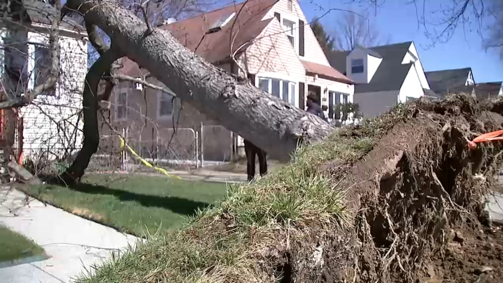
Strong winds are still anticipated and can bring added hazards to parts of the region. Gusts across Long Island and the New England coast may potentially reach 50 mph or greater for a time.
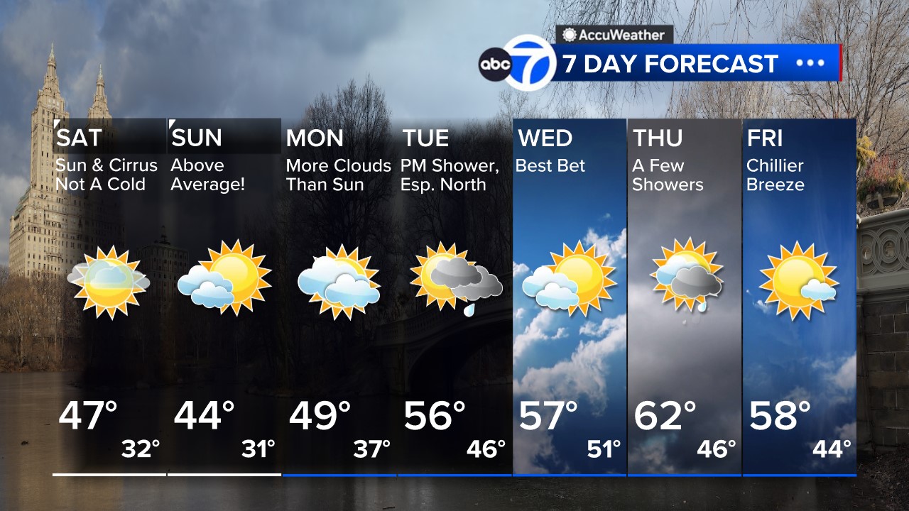
Temperatures will take a major plunge as well due to this potent storm. Lows will be in the 30s for most of the region on Monday night, with 40s forecast along the Atlantic coast.
After New York City hit 73 degrees Fahrenheit on Saturday, over 10 degrees above average for this time of year, the storm is forecast to prevent temperatures from rising past the lower 50s instead through Tuesday.
For people fretting over the weather whiplash early this week, warmth typical of spring will make a strong comeback in a few days.
Turn to Eyewitness News for updates on the forecast from Lee Goldberg, Sam Champion, Jeff Smith and Brittany Bell. Get more on the storm at AccuWeather.com.
WATCH: Weather Or Not with Lee Goldberg - now available on our connected TV apps for Fire TV, Roku, Apple TV and Android

Check AccuTrack Radar
AccuTrack Radar New York City view
NWS Advisories, Watches and Warnings
School closings and delays
For weather updates wherever you go, please download the AccuWeather app.
Follow Lee Goldberg, Sam Champion, Brittany Bell, and Jeff Smith on social media.
Share your weather photos and videos, and Eyewitness News may show them on TV or any of our digital and social platforms


