AccuWeather: Clearing skies return after flooding rain sweeps region
AccuWeather forecast for NYC, New York, New Jersey and Connecticut


NEW YORK (WABC) -- After a soggy and stormy start to the day, conditions are expected to improve significantly across the Tri-State area Sunday afternoon as the rain moves out and skies gradually clear.
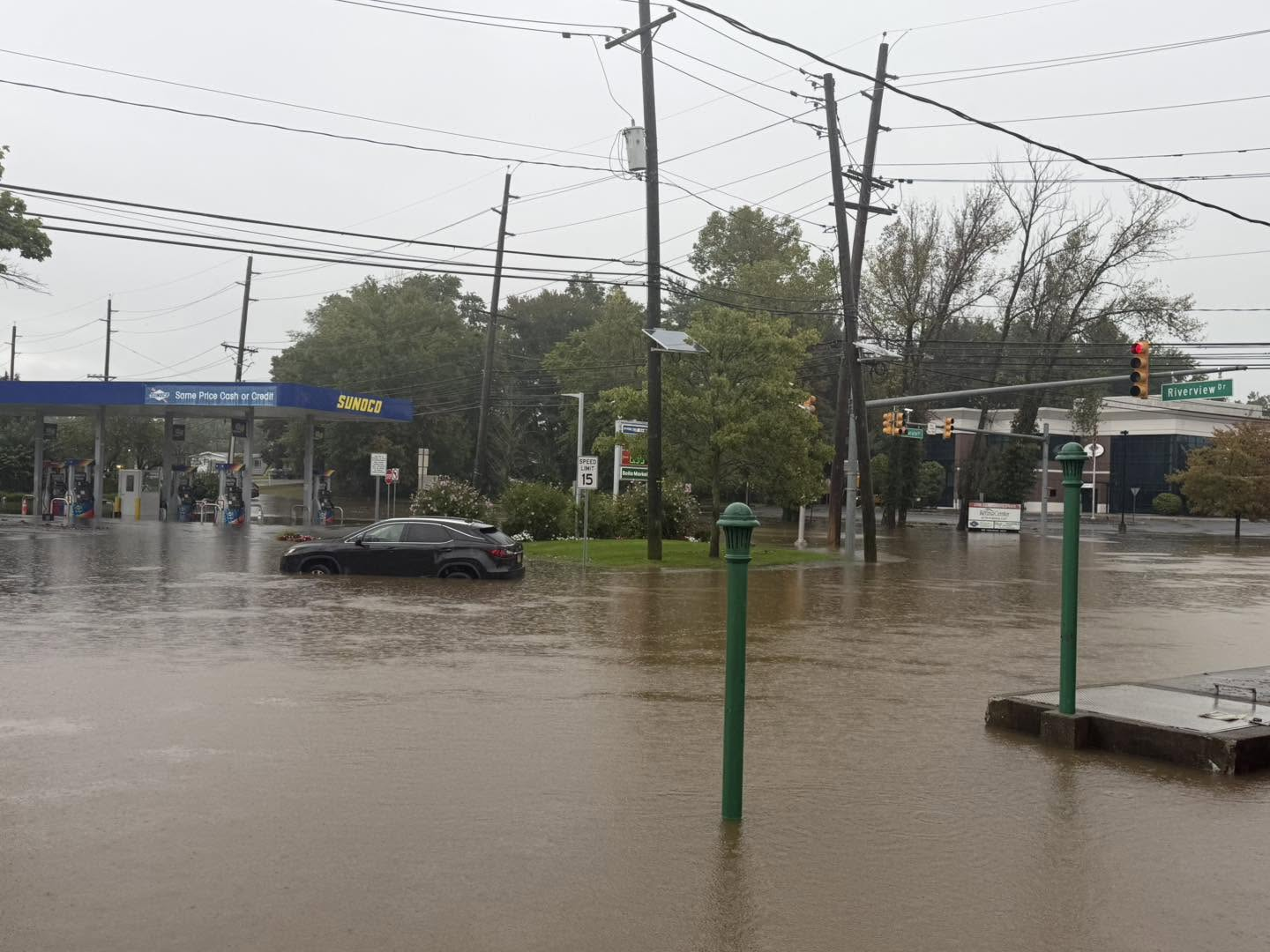
The AccuWeather Alert remains in effect through the first half of the day due to the threat of localized flooding from heavy downpours. Flood watches and flash flood warnings were issued Sunday morning as torrential rain swamped roads and low-lying areas in parts of New Jersey, Connecticut and the Hudson Valley.
By the afternoon, however, the steady rain will come to an end and some sunshine is expected to break through the clouds. Temperatures will rebound into the low 80s, making for a much more comfortable finish to the weekend.
A stray shower remains possible Sunday night as a cold front pushes through the region, but the bigger story will be the drop in humidity behind it.
Monday looks picture-perfect, with sunshine, lower humidity and highs around 77 degrees. Even cooler air arrives Tuesday, when temperatures are expected to stay in the mid-70s.
The dry stretch won't last all week. Humidity is forecast to return by Wednesday, bringing back the chance for showers and thunderstorms through Thursday.
LATEST ACCUWEATHER FORECAST
THE 7-DAY FORECAST
Sunday
AccuWeather Alert: Stormy start, PM breaks. High 81
Monday
Nice, much less humid. High 75
Tuesday
Pleasant sunshine. High 72
Wednesday
Sunny, warmer. High 79
Thursday
Humid with the chance of a storm. High 81
Friday
Mostly sunny. High 79
Saturday
Sunny, not as warm. High 74

Follow the Weather or Not podcast with Lee Goldberg
Please fill out the form below to submit weather photos and videos.
MORE ACCUWEATHER RESOURCES
Check AccuTrack Radar
Air Quality Tracker
NWS Advisories, Watches and Warnings
School closings and delays
For weather updates wherever you go, please download the AccuWeather app.
Follow chief meteorologist Lee Goldberg, Sam Champion, meteorologist Brittany Bell, meteorologist Jeff Smith, and meteorologist Dani Beckstrom on social media.