Best, worst case scenarios for Wednesday nor'easter

NEW YORK (WABC) -- What's the best case scenario for Wednesday's nor'easter? What's the worst case? Here's what Meteorologist Jeff Smith predicts:
Best Case Scenario
The storm is weaker than the forecast, moving quickly and is tucked in very close to the coast.
This would limit the amount of precipitation and warm up the atmosphere so that mixing would hold down snowfall totals significantly.
In this case, a mix of snow and rain would develop tonight and instead of changing to all snow, it would remain mixed during much of the day.
This would hold down accumulations to less than 6 inches in New York City and maybe only 1 or 2 inches for much of Long Island and the Jersey Shore.
Areas north and west of the city would still see 6 to 12 inches of snowfall with very difficult travel conditions.
Wind could still cause power outages, especially in areas that get significant snowfall accumulation.
Coastal flooding would be limited to minor splash-over at the time of high tide.
Worst Case Scenario
The storm is stronger, slower and slightly farther east than currently predicted.
This would increase precipitation totals and allow for a colder atmosphere, favoring heavy snow over a wider swath of the region.
In this case, a mix of snow and rain would develop tonight and quickly change to all snow in most places as the precipitation intensity gets heavier.
The morning commute would be challenging, and heavy snow and strong winds would pound much of the region Wednesday into the evening as temperatures fall to freezing or below.
If this were to verify, New York City could get a foot of snow, with up to 18 inches in the northern and western suburbs.
Even Long Island and the Jersey Shore would get at least 6 inches, with the exception of far southern and eastern areas that would get around 3 inches.
Wind would be a big issue, with widespread power outages, especially in areas that get the heaviest snowfall.
Coastal flooding would reach moderate levels, especially in the vulnerable back bays along the south shore of Long Island and the Jersey Shore.
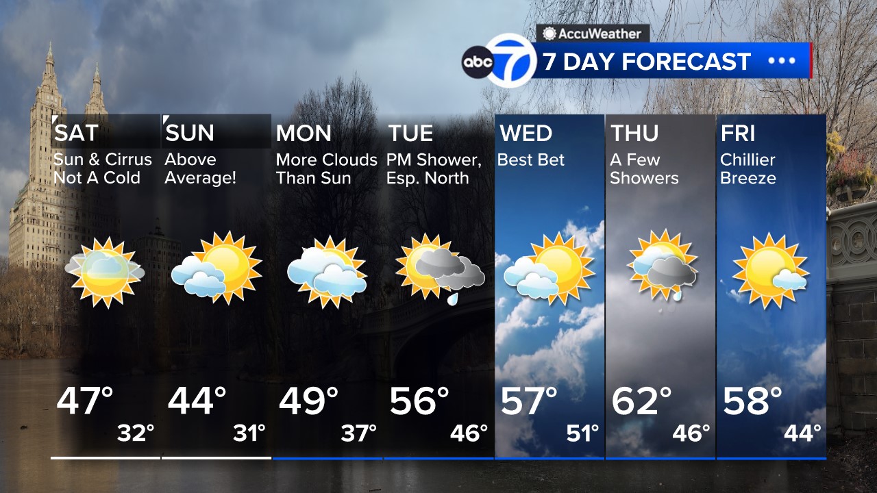
Click to watch the 7-day AccuWeather forecast and get all the weather any time at abc7NY.com/weather. For weather updates wherever you go, please download the AccuWeather app.
Here's a look at the 7 Day AccuWeather forecast


