Winter storm forecast: Significant snow for some, but mostly rain for New York City
A winter storm warning issued for parts of New York, New Jersey and Connecticut

NEW YORK (WABC) -- The year's first significant winter storm in the east is bringing some significant snow to the northern and western suburbs, but New York City will miss out on any plowable snow.
An initial "thump" of snow transitioned to a wintry mix of snow and rain in the city and along in areas to the south and east.
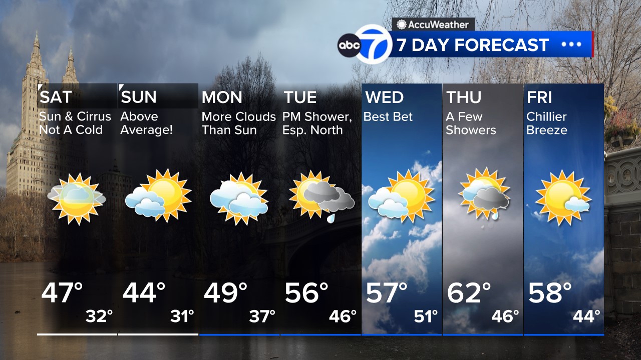
Latest AccuWeather Forecast
By early Saturday evening, only a trace to a half-inch of snow had fallen in the New York City metro area.
There's a chance for a light accumulation in the City on Sunday morning with wraparound snow behind the storm.
The last time there was an inch of snow on a single calendar day in Central Park, New York City was Feb. 13, 2022.
Snow will pile up into the overnight hours north and west of the city. Some higher elevations could pick up a foot or more.
Most areas in interior New England should see anywhere from half a foot to a foot of snow with this event before it starts to wind down
RELATED: Send your snow photos to Eyewitness News
Meanwhile, on the West Coast, the next cross-country storm is coming ashore with heavy snow, rain, and large waves. The Bay Area is on alert for waves up to 20 feet this weekend.
In the Pacific Northwest, more than a foot and a half of snow (up to 20") is possible in the Cascade Mountains.
By Tuesday evening the storm will be in the Northeast with warmer temperatures leading to rapid melting of the recent snowfall accumulations and heavy rain all on top of an already saturated ground. All of this combined means a higher risk for flooding. It will be windy, too. This may make the Tuesday evening and Wednesday morning commutes difficult and possibly dangerous.
Stay with AccuWeather and Eyewitness News for updates.
Get live updates on the winter storm impact here.

NWS Advisories, Watches and Warnings
For weather updates wherever you go, please download the AccuWeather app.
Follow meteorologist Lee Goldberg, Sam Champion, Brittany Bell, Jeff Smith, and Dani Beckstrom on social media.


