Winter Storm Track: Flash flooding, damaging wind expected to hit New York City, Tri-State
As much as 2-4" of rain and damaging wind gusts are expected across New York City and the Tri-State

NEW YORK (WABC) -- A powerful storm bringing the threat of major flooding and damaging winds has arrived in the Tri-State area.
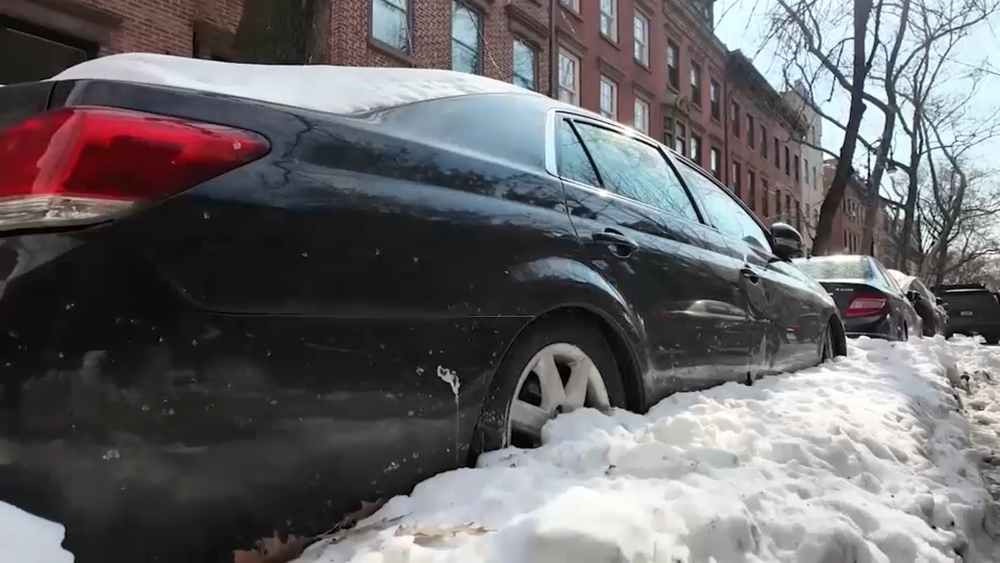
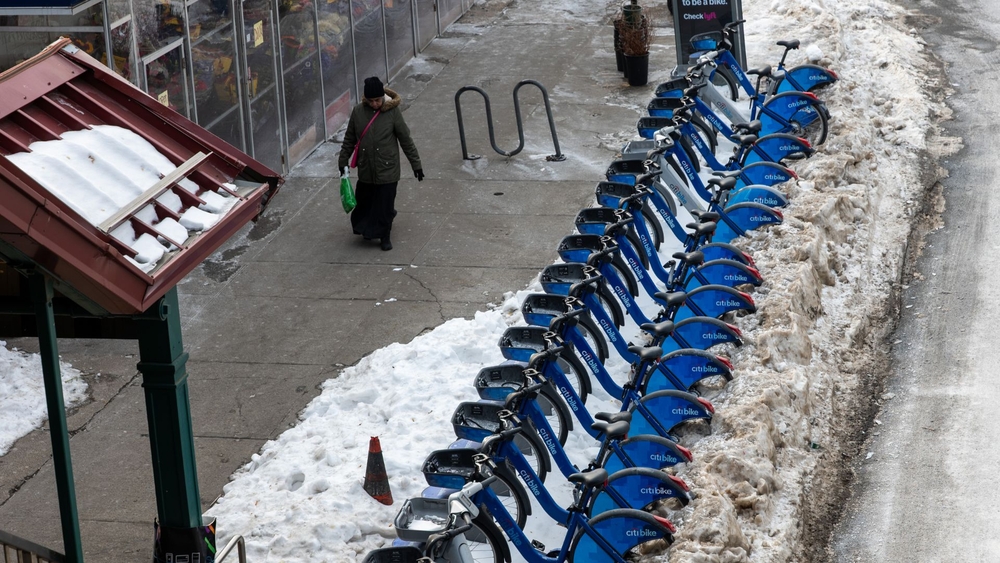
A Flood Watch remains in effect for New Jersey and parts of New York and Pennsylvania into early Wednesday. The combination of 2"-4" of rain along with saturated ground and melting snowpack could mean particularly widespread flooding.
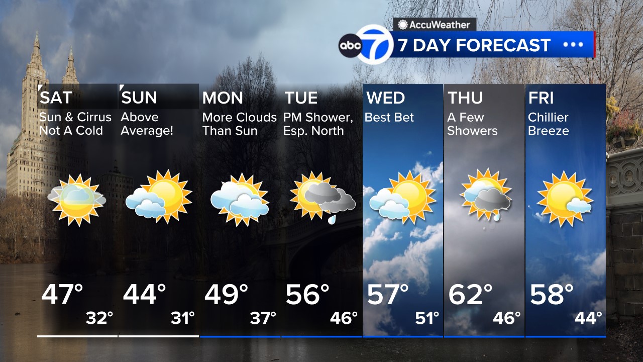
Latest AccuWeather Forecast

There's also a High Wind Warning for New York City. Expect downed trees and power outages in these areas as winds can gust 40-60 mph.
TIMING: Midday today - Wednesday AM, brunt occurs in a 6-8 hour window this evening into the overnight hours (6pm - 1am) .
AMOUNTS: Widespread 2-4" of rain. Begins as snow in the mountains with a few inches of accumulation before a changeover to rain.
WIND: 40-60+ mph gusts. Potential for 70mph gusts on LI.
IMPACT: Urban, major river and moderate to isolated major coastal flooding. Downed trees may cause power outages.

New Jersey Gov. Phil Murphy declared a state of emergency effective at 5 p.m. while New York Governor Kathy Hochul urged residents to prepare.
Follow more updates on the winter storm impact here.
The sprawling winter storm hit the South with strong thunderstorms and tornado warnings that blew roofs off homes and tossed about furniture Tuesday and brought cities across the Midwest to a standstill with more than half a foot of snow, stranding people on highways.
The violent storm with 55 mph (88 kph) winds and hail moved through the Florida Panhandle and into parts of Alabama and Georgia by sunrise Tuesday, along with at least several reports of radar-confirmed tornadoes, the National Weather Service said. A wind gust of 106 mph (171 kph) was recorded before dawn near the coast in Walton County, Florida.
In the Midwest, where a snowstorm started Monday, up to 12 inches (30 centimeters) of snow could blanket a broad area stretching from southeastern Colorado all the way to the Upper Peninsula of Michigan, including western Kansas, eastern Nebraska, large parts of Iowa, northern Missouri and northwestern Illinois, said Bob Oravec, a forecaster with the National Weather Service in College Park, Maryland.

The combination of snow on the ground, surging warm air, heavy rain, and strong snow-eating winds will lead to a rapid runoff as the storm hits our part of the world.
Small streams and rivers will be on the rise with the potential for a serious flash flood event.
Stay with Eyewitness News and the AccuWeather team for updates on the next storm.

Subscribe to the Weather or Not with Lee Goldberg podcast
MORE ACCUWEATHER RESOURCES
Check AccuTrack Radar
Air Quality Tracker
NWS Advisories, Watches and Warnings
School closings and delays
For weather updates wherever you go, please download the AccuWeather app.
Follow meteorologist Lee Goldberg, Sam Champion, Brittany Bell, Jeff Smith, and Dani Beckstrom on social media.
